Welcome to
Native Land Digital
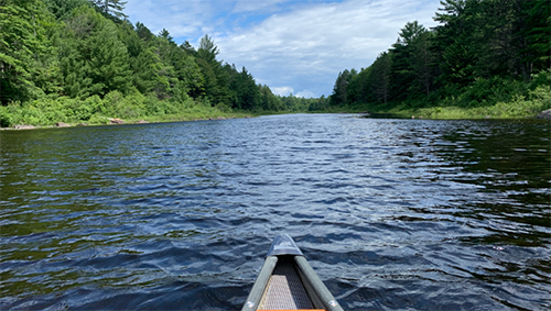
A space where the stories of land and waters are carried by those who walk in ancestral relationship with them.
Native Land is an app to help map Indigenous territories, treaties, and languages.
100M+
visitors
4K+
nations added
20M+
API calls
10K+
dialogues
60M+
shapes shared
100+
collaborations
Our Mission
We strive to map Indigenous lands in a way that changes, challenges, and improves the way people see history and the present day. We hope to strengthen the spiritual bonds that people have with the land, its people, and its meaning.
How It Works
Mapping
We strive to map Indigenous territories, treaties, and languages across the world in a way that goes beyond colonial ways of thinking in order to better represent how Indigenous people want to see themselves.
Community
As an Indigenous-led organization, we interconnect Indigenous communities around the world and develop real relationships.
Education
We provide educational resources to correct the way that people speak about colonialism and indigeneity, and to encourage territory awareness in everyday speech and action.
Our Maps
Dive into a growing collection of maps that bring Indigenous lands, languages, and stories to life. Explore each map to learn more and see history from a new perspective.
More to Explore
Want to dive deeper? Check out our API docs, research references, or stories from our blog.
Research references
All our research and maps are document on our territory, language, and treaty reference pages.
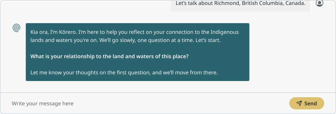
Know Where You Stand
Explore your relationship to place and create an acknowledgment grounded in care, respect, and commitment.
Know Where You Stand
A Land and Waters Acknowledgment Guide
Kōrero isn’t just about writing a land acknowledgment — it’s about starting from the heart. Through a series of thoughtful questions, it invites you to slow down, listen, and reflect on where you are, whose land you're on, and how you can show respect and care.
Let Kōrero guide you in creating a meaningful land or water acknowledgment rooted in connection and responsibility.
Our Partners
Many organizations and individuals have helped in the creation of Native Land.
Help Native Land Digital Grow
Every contribution helps us improve the map, expand global coverage, and deepen partnerships with Indigenous communities.
Supporter’s Circle
Join our Supporter’s Circle and help be a part of the connections between Indigenous communities.