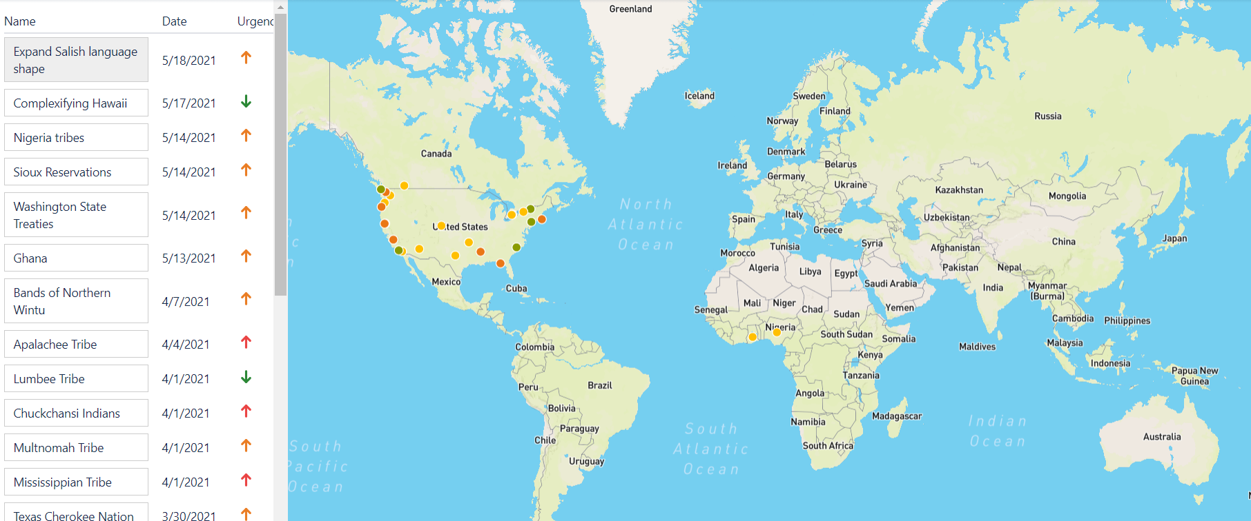
Organizing Research: The JIRA App
Here at Native Land Digital, we’ve put things together as they come. This organization and project didn’t start out with a grand vision and a comprehensive Business Plan — it started with an idea and putting in some work to get the thing moving. But, over the years, we’ve had to continually improve our processes […]
Africa: Bit by Bit
We’re now getting underway with attempting to tackle mapping out different Indigenous groups in Africa. You can read a bit about the initial approach and how confusing everything is in the first post in this series, Approaching Africa. We’ve now had a few conversations with different people who specialize or are from different regions of […]
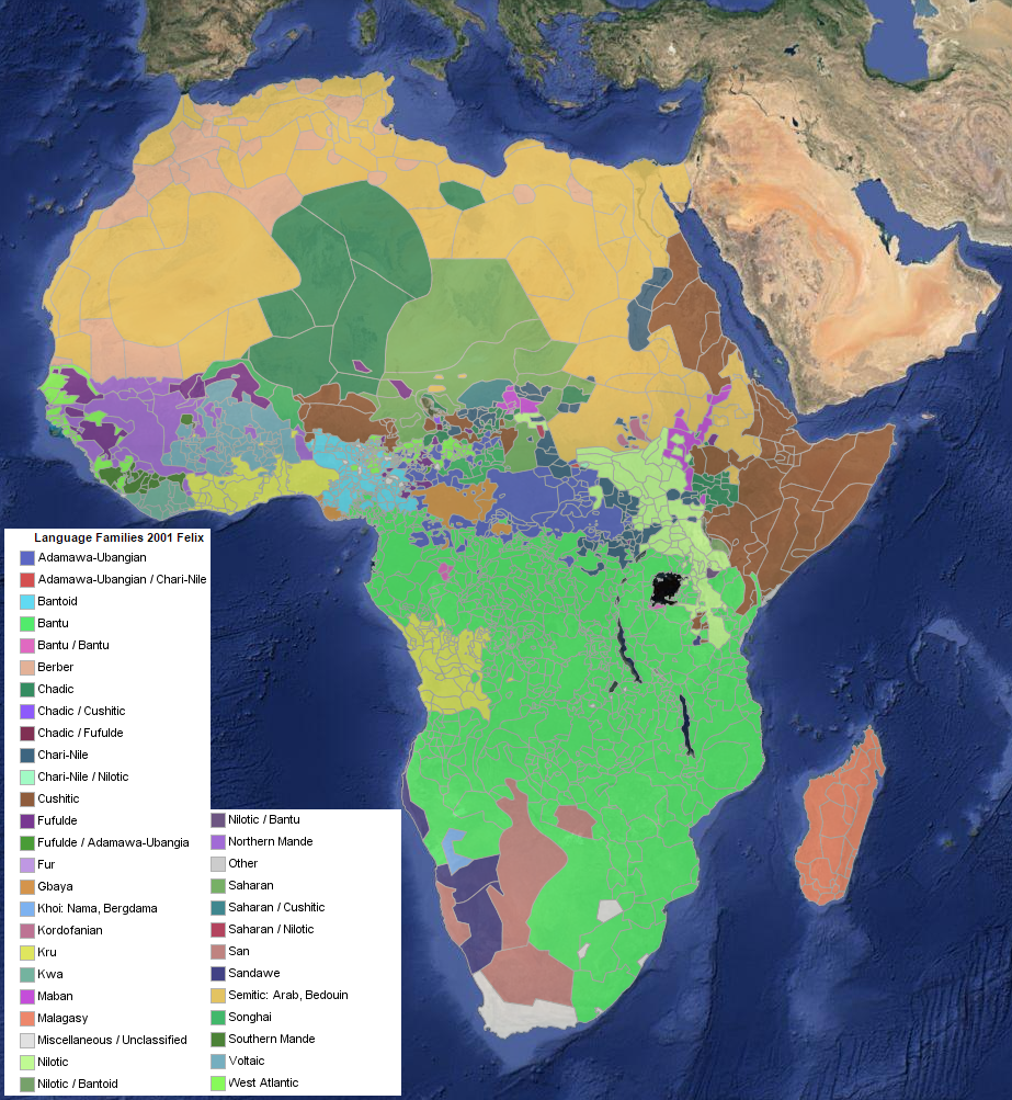
Approaching Africa
When it comes to the Native Land map, we’re always trying to balance two big goals: expanding the map versus improving the map where we already have shapes. We have been getting a lot of questions about why areas in Africa are not mapped out, and while this has long been on our goal list, […]

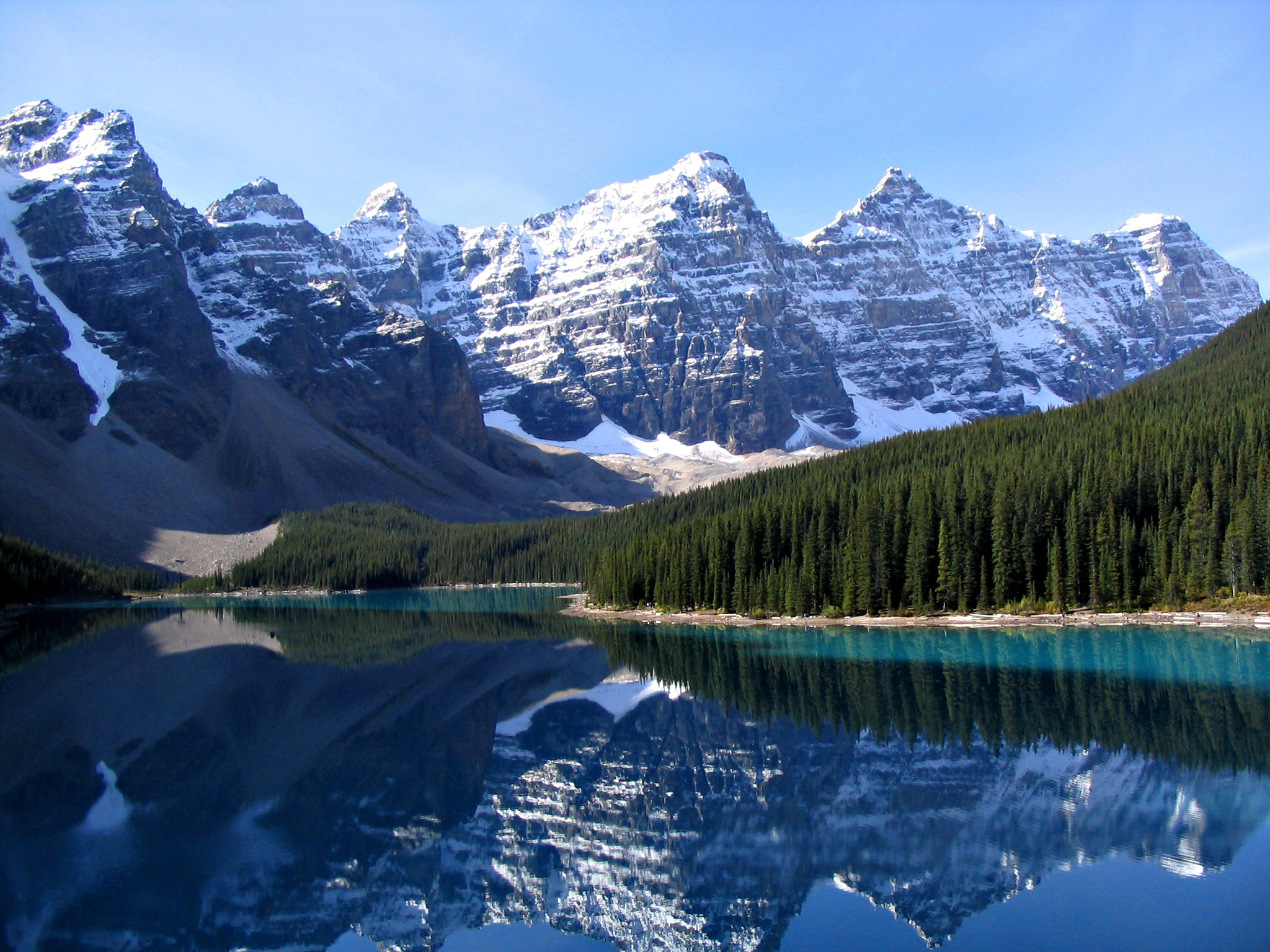
Reflections on my job as Research Assistant for Native-Land
I am Victor Sauca, a Saraguro Kichwa from Ecuador currently working as the Research Assistant for Native Land from the ancestral, unceded lands of the Musqueam and Tsleil-Waututh people in what is now-called Vancouver, Canada. I acknowledge I came here to this beautiful land as an uninvited guest and without any idea of the presence […]
What is “territory”?
The most popular layer on the Native Land map — and the one I have turned on by default — is the “territories” layer. This is a bit of a paradox, because it’s both the most intuitively understandable layer and the most complicated to explain. The territories layer began as something quite straightforward: mapping something […]
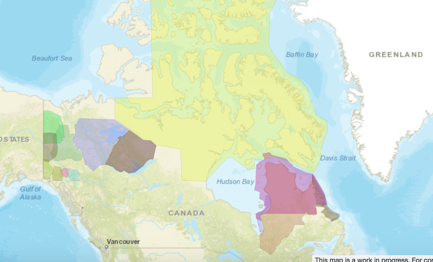
Land Area – Canada & Land Claims Agreements
Recently, I got an email from someone in Nunavut asking for some information about relative sizes of land agreements, compared to the overall land area of Canada. I’m not sure exactly what the information was being used for, but I thought it was interesting and I wanted to illustrate it here.
A Question of Borders
One of the most distinctive things about the Native Land maps are the borders. They overlap crazily and make a huge mess of colours. Why’s that?

Building Native-Land.ca
Read a little bit about the work behind Native-Land.ca. (post originally written for Codementor.com)

What Year Does the Map Represent?
Does time really matter on maps? Of course it does. But how you map time depends on the purpose of your map.