
This post originally appeared on Codementor.com.
This site is probably the project I’m proudest of. I had to put together pretty much the whole dataset (although I’ve had tons of help!), and over the past couple years it’s gone viral a few times. While I don’t make any money off this project, it has gotten me a lot of interest and some good connections.
The Inspiration
I’m an activist developer, I guess. During a heated pipeline debate and protest here in Vancouver, I got involved and wanted to put my web skills to use. I found that a lot of people participating in the debate had little information about pipelines in Canada. I wanted to make an information site where everyone could see development projects on a map, protests, spills, and learn more.
In the course of that project (Pipewatch, which later died since it needed too much time), I also wanted to see what Indigenous land projects were happening on. As I started to gather that data, I realized it could be its own site, where people would be able to search their home and get a note on whose traditional territory they lived on.
I wanted to make something to reach out to non-Indigenous people (like myself), something that would engage them in with Indigenous history in a friendly and interesting way. Indigenous people already know their territory — it’s the ‘settlers’ who needed to have a look at the information I was collecting. I wanted people to have Indigenous names and lands in mind as they went about their days.
Getting coding
I had to learn Google Maps API, as well as all about coordinates and geoJSONs and mapping systems, in order to put together a first draft. It was a tough slog and I’d be embarrassed by that code if I looked at it today. But through fits and starts it got moving along.
I gathered up data from the BC Language Map at first, and then found some tools that allowed me to draw polygons. I started tracing maps, making one panel of my browser semi-transparent, overlaying it over another map, and doing the tracing as tightly as I could with geographic features. Obviously there are better ways to do this — real GIS programs do proper map digitization. But I was new, and it worked!
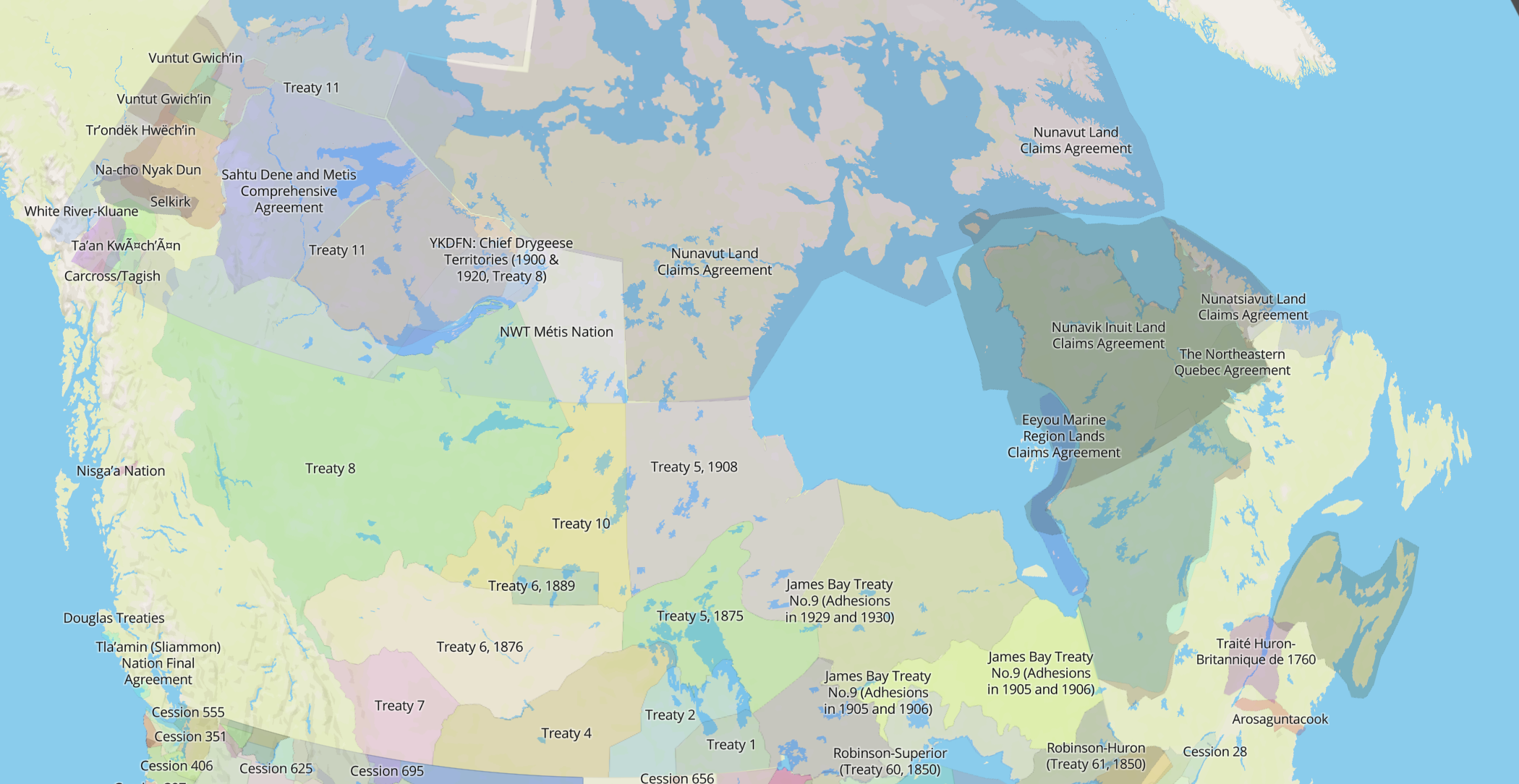
I found territory maps from websites of Indigenous nations, but not all the time. I ran into language information, and then decided that it might be good to put treaties on the map too, when I heard an Indigenous person identify themselves as being “from Treaty 8 territory”. I created a hierarchy of sources; first, Indigenous nations, then specialized study maps on a nation, then conglomerate maps (big maps with lots of nations drawn), then old historical maps. Many old maps have incorrect names or polygons that are blatantly inaccurate, but sometimes we don’t have any other sources to go on.
Getting popular
I really figured I had something once I got a basic interface together with jQuery, some switcher libraries, and Google Maps API. I wanted to get feedback, so I started sending it around to everyone I could think of — university professors, media figures, Indigenous nations, anyone. Most of the time I didn’t get back any responses, which I expected. But once in a while I’d get back some criticism or some ideas, which inspired me enough to keep the fire burning!
I kept up messaging every couple of days. Maybe a few months later, suddenly I got a message from someone saying the site was down. I went and looked and sure enough, my bandwidth was exceeded. I increased it immediately and looked around, and A Tribe Called Red had shared the site and it was taking off!
After this first spike, the site kept up at a steady pace, and I started getting regular emails. It started to regularly shoot up around holidays associated with Indigenous people — Aboriginal Day, Thanksgiving, Columbus Day, and others.
I built an API for Historica Canada, who started embedding the maps on their encyclopedia site, and opened up the site as open-source to anyone who wants to use it. I made an iOS app (soon to be in Android, too). I expanded and corrected territories. I answered theoretical and philosophical questions from interested people. And I got a ton of help along the way!
Today
I’ve just released an updated version of Native-Land.ca, and I’ve expanded territories to include Australia as well. I have tons of work left to do, and the technical and research load sometimes gets to be a bit heavy. But the meaning of this map in my life makes it worth it — definitely.
One of the emails I’ve recieved stuck with me. My site was down again after another viral spike, near Thanksgiving, and I got an email. The person wrote me to say that they wished the site was up, because they were going to show it to their family and open up a conversation about Indigeneity and land and history in Canada. I had no idea that people were actually using the site like that, and it means a lot to me that something I made could have an impact like that.
Some Indigenous people have also said that seeing their territory mapped is very meaningful to them, when western maps have almost completely ignored Indigenous land and rights since colonialization began. This map definitely means a lot to a lot of people.
I’m going to be hiring a communications person soon, to handle some outreach, and maybe put together a Board of Directors to help guide the map. I don’t want to be in charge of all the complex theoretical questions (see the Native Land blog for these), and the political difficulties of what I’m building. But we’ll have to see where it all goes! For now, it’s still purely volunteer, and it only costs me money… but it’s more than worth it to me.
If you have a passion — build it! And if you believe in it, then put in the time, even just thirty minutes a day, to keep going. You will get a breakthrough! I did with Native-Land.ca, and it remains my favourite project to this day.